Get to know us
Our company mainly deals with Ground Penetrating Radar (GPR) data processing, utility mapping, utility survey data modeling, and consulting.
We are also undertaking topographical surveys and mapping above-ground objects/features.
Why AT Surveys
Delivering Precision, Trust, and Tailored Solutions
Precision Utility mapping
Tailored 2D, 3D processing to client standards
GPR Data Mastery
Interpreting any GPR manufacturer's datasets.
Two Decades of Trust
Relationship-driven service, widescale expertise
OUR GOAL
Our goal is to relieve our customers while they carry out field data collection, but we also help ensure that the work is completed with short leading time, thus satisfying the needs of our partners.
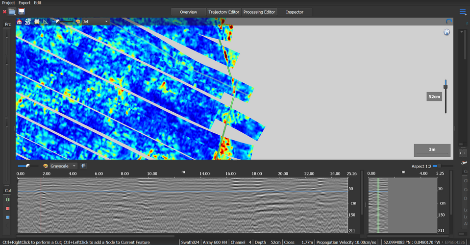
GPR data processing
- Our company specializes in GPR data processing and interpretation. We process any GPR manufacturer’s datasets including multi-channel GPR data.
- The exported drawing will include, cables/pipes, voids, buried structures, rebars, changes in ground composition and GPR anomalies. The final data will be issued in accordance with our client’s standards.
Utility CAD data processing
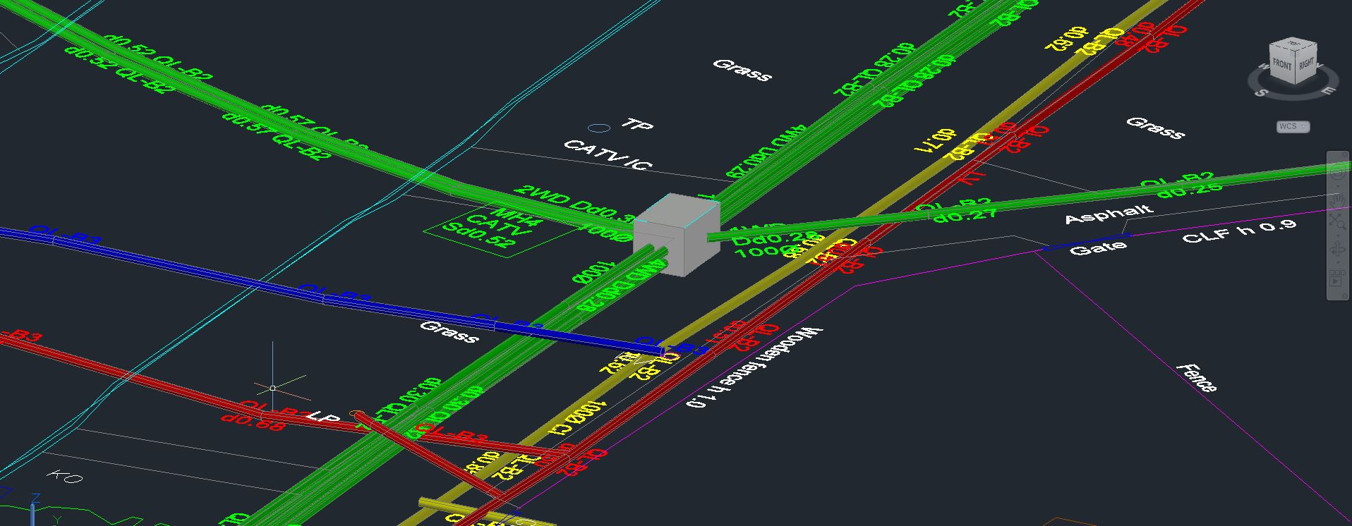
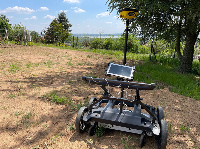
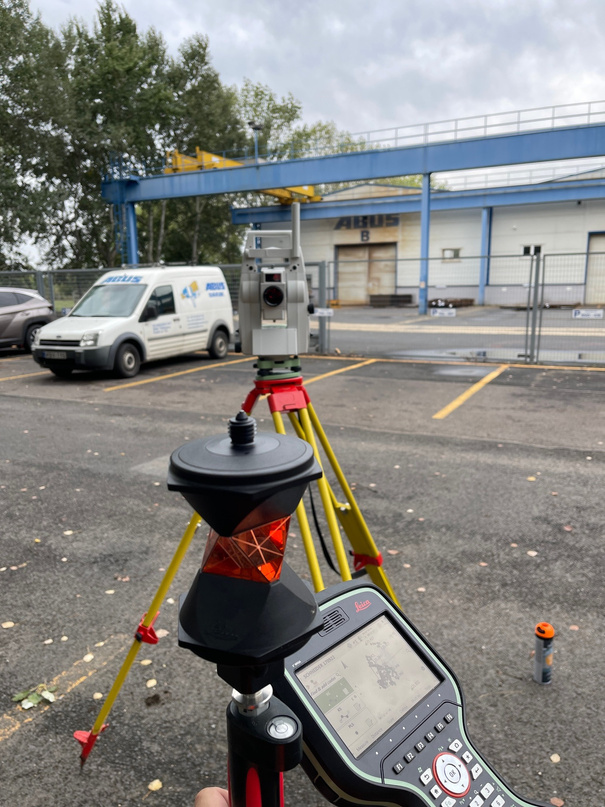
- After the initial discussion, we process (2D or 3D) the collected site data based on the total station / GNSS-observed service routes, manhole sketches, site photos, and utility desktop records.
- The output will be an AutoCAD drawing that meets our client’s standards in quality, layering and presentation format.
PAS 128 Utility Surveys
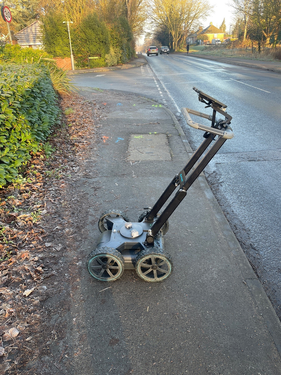
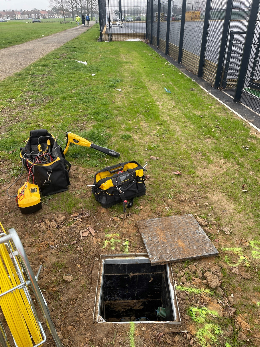
- We can also provide site data services and comprehensive PAS 128-compliant utility surveys including data processing. For more information please contact us.
Topographical surveys
- Our company offers topographical survey services as well to support designers in their planning stage. For more information please contact us.
References
Let’s summarize what we actually do in a few pictures.

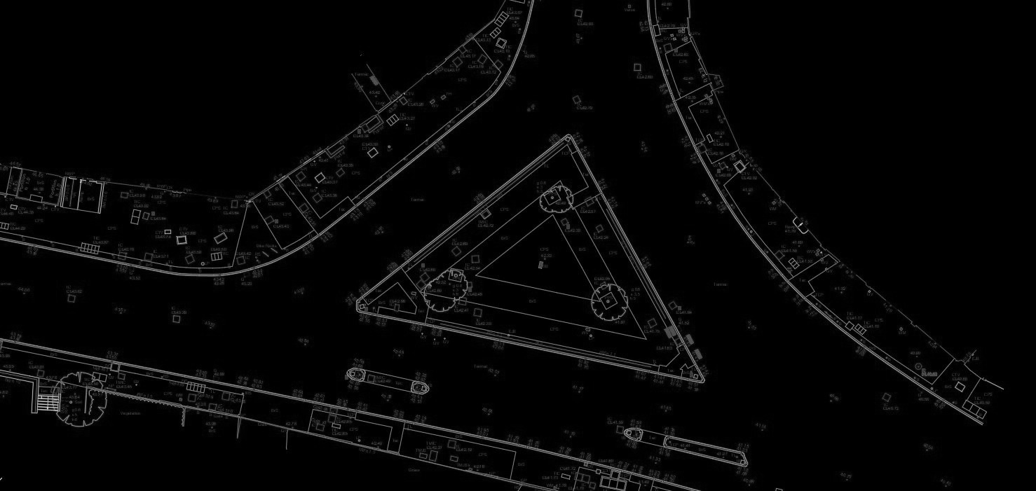
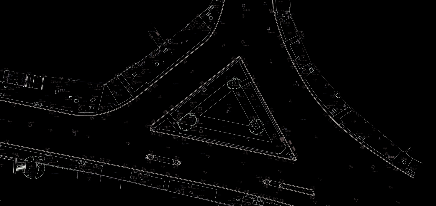
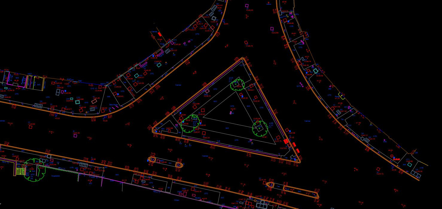
2D CAD drawing:
Client-Data to Standard
A plan (2D) view of our CAD processing and modeling where the data was collected and provided by our client and the data has been processed as per their required standard.
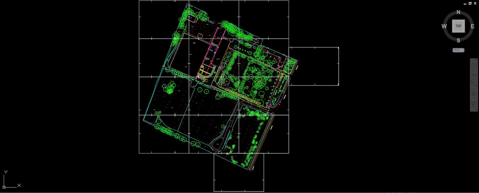
3D Utility Survey:
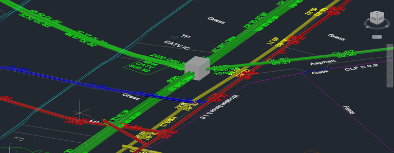
True-Sized Modeled Pipes
A 3D view of a utility survey where the traced pipes were „dressed” and modeled with their true size and depths.
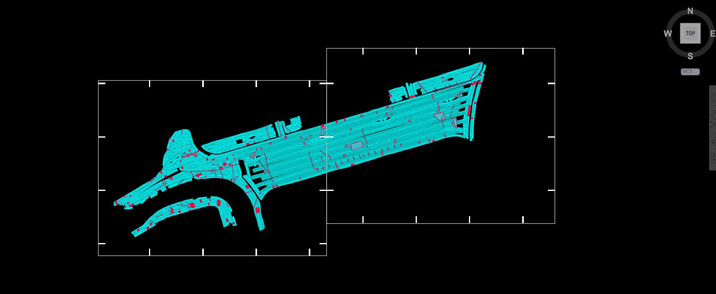
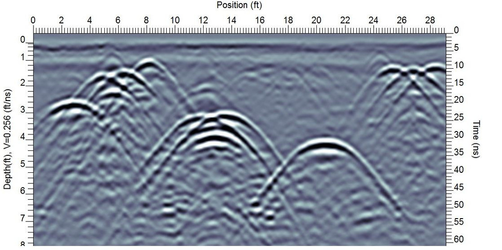
Leica GPR Analysis:
From IQMaps to AutoCAD
GPR data processing where the datasets collected by our client using Leica Stream Up vehicle-mounted GPR and Leica Stream-C GPR. The data has been interpreted in IQMaps and processed in AutoCAD.
About us
- Our company was established in 2021 with two offices, one in the United Kingdom (AT Surveys) and one in Hungary (AT CAD Modeling Kft.)
- Our services include full-scale utility surveying and consulting, preparation of survey drawings, processing/modeling of customer-collected utility survey data, and ground-penetrating radar (GPR) data processing.
- We are supporting clients not just during the processing stage but even after when the development works are underway.
- Our company works according to our customers’ standards, which we always discuss before starting each work to understand their needs and requirements. We have over 20 years of combined experience in utility surveying and land surveying, mainly from the UK. Our team works closely with senior geophysicists who carry out high-quality utility radar interpretations and processing.

András Tordai MCInstCES
Managing director
Contact us
andrastordai@atsurveys.co.uk
UK Tel: +447944601876
HU Tel: +36304529336
AT Surveys Limited
Date of incorporation: 2021.
Office: Northampton, UK
Company number 13564768
AT CAD Modeling Kft.
Date of incorporation: 2021.
Office: 8083 Csákvár, Erdő utca 6.
Company number: 07-09-032707
